Give the wildlife of Western Port Woodlands a future
Ask your elected reps to connect and protect this magical place forever
Our Wildlife corridor or sand pit? report found these connected patches of bush are both rare and critical.
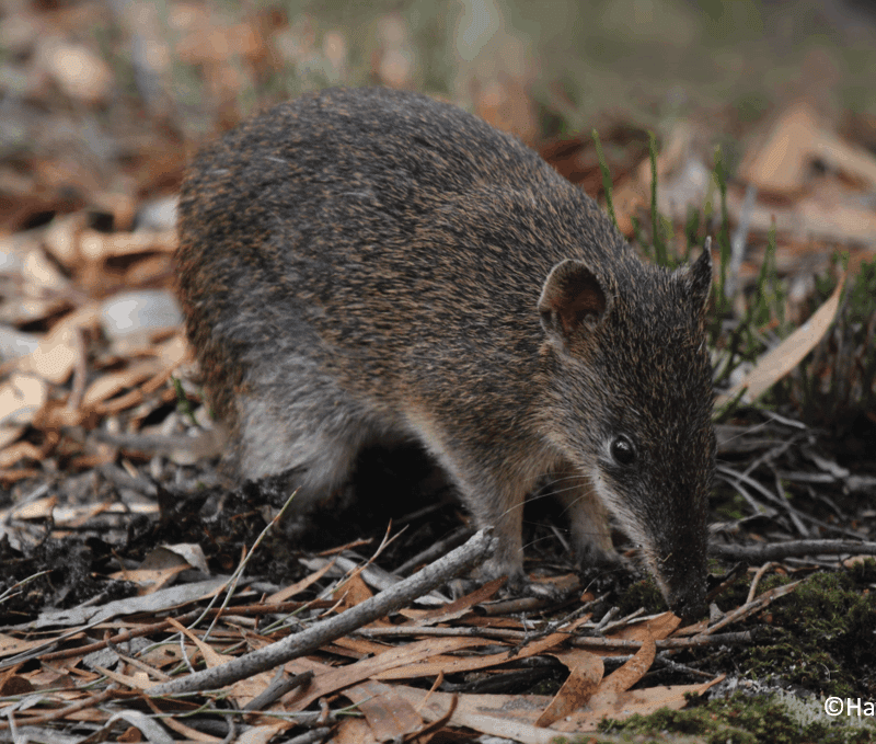
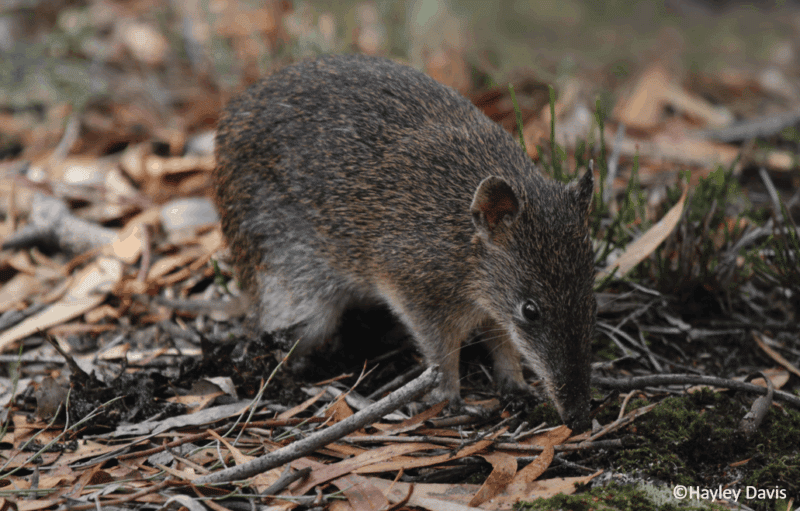
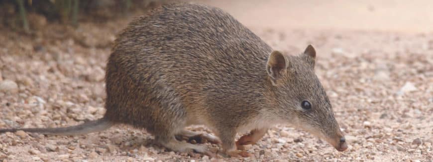
They’re home to many threatened wildlife and habitats – Southern Brown Bandicoots, fungi and Australia’s largest owl, the Powerful Owl.
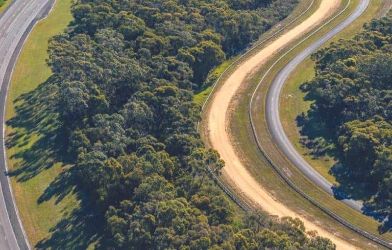
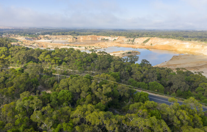
But right now, it’s under threat from sand mining.
Ask your elected reps to connect and protect this magical place forever
Ask your elected reps to connect and protect this magical place forever
Our Wildlife corridor or sand pit? shows that the landscapes between Nyora to Grantville is bursting with amazing plant and animal life.
One was the Tea-tree Fingers (Hypocreopsis amplectens), alongside other threatened wildlife, like Southern Brown and Long-nosed Bandicoots and Powerful Owls. Bobucks/Mountain Brush Tail Possums and koalas also make their home here.
We also found that despite their significance, protections are scarce across the Woodlands.
Only one per cent is covered by an Environmental Significance Overlay and only 15 per cent by Significant Landscape Overlay. This means the woodlands, particularly on private land, lack even the most basic protection from mining and inappropriate development.
Conservation groups and members of the community have been asking for the area to be protected for more than three decades.
The Victorian Government has now designed the Distinctive Areas and Landscapes (DAL) policy draft for the Bass Coast. It proposes a 50-year vision and planning controls to guide land use and development for the region.
The government’s own ecological experts class the Western Port Woodlands as Nationally Significant. Yet the draft entirely overlooked the biodiversity hotspot. Even worse – the entire area is identified for sand extraction.
It does talk about the importance of biolinks and the need for ecological restoration works in other areas, but essentially ignores the whole string of parks, reserves, and remnant vegetation that are already a ‘biolink’.
We’ve teamed up with South Gippsland Conservation Society and Save Western Port Woodlands as the Western Port Woodlands Alliance.
We put forward the case for better planning controls for the Woodlands to the DAL hearing panel. Together with ecologists, mycologists, botanists and planning experts, we pushed for science-led future protection of the Woodlands.
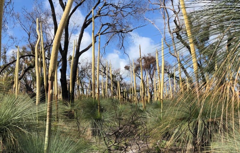
Gurdies Nature Conservation Reserve
Dunbabbin Road, off the Bass Highway Road
Length: 5.8km return
Time: 1.5 hours return
Level: Easy
The Gurdies and Grantville Nature Conservation Reserves are home to grass trees, tree ferns and 54 different types of orchids. Wildlife includes Powerful Owls, Lace Monitors and marsupials such as the Common Wombat, Black Swamp Wallaby, Eastern Grey Kangaroo and the Bobuck (thought to be locally extinct but rediscovered in 2005).