PARK WATCH December 2017 |
It’s time to ease the squeeze on Victoria’s coastal nature by establishing a Coastal Wildway Program, says Chris Smyth.
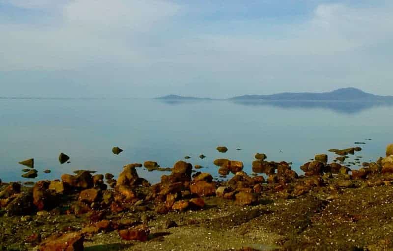
Coastal land for the public
Victorian coastline dodged a bullet when crown land was being carved up across the continent in the 19th century. In 1873, all ‘unappropriated’ crown land along Port Phillip Bay’s shoreline was permanently reserved, followed in 1881 by all ‘unalienated’ lands within a chain and a half of ‘inlets, loughs and straits’.
Today, 96 per cent of land abutting the Victorian high-water mark remains as crown or public land (other states have less). Of this, about two-thirds is in national, state and coastal parks, with most of the rest in coastal reserves.
Some of the national parks along the coast extend well inland from the shoreline, for example Wilsons Promontory and Croajingolong. But others, like Port Campbell and Mornington Peninsula, are narrow and fragile strips, as are the many coastal reserves.
The four per cent (roughly 80 kilometres) of the coast with freehold land abutting the highwater mark is mostly found between Portland and Warrnambool, the Bellarine Peninsula between Clifton Springs and Point Henry, and along the north-eastern shore of Western Port.
Easing the squeeze on coastal nature
Rising sea levels and coastal development are squeezing the very narrow strips of coastal nature on public land, accentuated by the edge effects from adjoining land uses. Coastal population growth and its associated urban, agricultural, industrial, port and tourist developments, and more recently climate change, are the main drivers of habitat loss, fragmentation and degradation. Uncontrolled visitor access and invasive species are other factors.
Of the ten Victorian bioregions (areas of broad and consistent landscape features) with coastal boundaries, there are four where this squeeze is most pronounced. They are the Warrnambool Plain (between Portland and Princetown), the Otway Plain (which strikes the coast between Aireys Inlet and Altona), the Victorian Volcanic Plain (outcropping along the western shoreline of Port Phillip Bay) and the Gippsland Plain (from eastern Melbourne to the Gippsland Lakes).
Along the western shoreline of Port Phillip Bay, 50 per cent of coastal saltmarsh has gone. On the Warrnambool Plain, 80 per cent of swamp heath scrub and 40 per cent of coastal dune scrub have disappeared. The Otway Plain has lost three-quarters of its coastal alkaline scrub (moonah woodland), the Victorian Volcanic Plain 72 per cent of its coastal tussock grassland, and on the Gippsland Plain, 63 per cent of coastal banksia woodland and 80 per cent of coastal dune scrub are no longer there.
Many of the native animals and plants reliant on the coastal and hinterland habitats are rare or threatened, and their status has worsened. Prominent are birds that use beaches and sand dunes or depend on healthy coastal waters for food, and the many small mammals and birds that rely on the habitats under pressure – heaths, grasslands, scrub and wetlands.
The Coastal Wildway Program
Victoria’s coastal nature on both public and private land needs greater protection and restoration. VNPA’s proposed Coastal Wildway Program would be a series of integrated and collaborative coastal restoration projects in partnerships between Traditional Owners, the local community, state and local government agencies, non-government organisations and landholders. The program would use a range of financial, regulatory and programmatic tools to:
- restore remnant coastal nature in a series of collaborative and priority restoration and linkage projects (in those bioregions where land clearance has reduced coastal nature to very narrow and fragmented strips or removed it completely)
- expand knowledge of coastal nature, and determine historical ecological baselines, by establishing a comprehensive and ongoing scientific monitoring and mapping of coastal habitats, ecological processes and threatened ecological communities, including change
- expand the coastal conservation estate to include abutting or nearby unreserved or reserved crown land, including state forest, that contains coastal nature, and purchased or covenanted private land abutting these areas or the high-water mark
- eradicate or control invasive species on coastal public and private land
- enhance coastal nature in coastal towns
- improve land-use planning to build the resilience of coastal nature to climate change
- improve and manage public access and amenity along the Victorian coast.
As Victoria prepares new marine and coastal laws and policy, now is the perfect time to establish the Coastal Wildway Program as an iconic symbol of new directions in coastal management and to ease the squeeze on coastal nature.