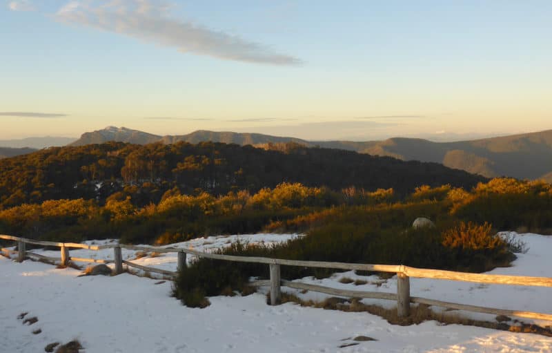
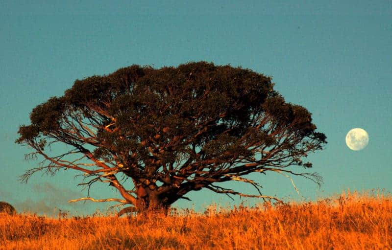
Mt Stirling is a unique natural landscape with dramatic vistas of Victoria’s alpine area. Home to many threatened plants and animals, it’s popular with bushwalkers, cross-country skiers, campers and school groups.
Currently part of the Mt Buller-Stirling Alpine Resort, this largely natural area has played second fiddle to the highly commercialised and developed Mt Buller. There were attempts in the 1990s to develop the area as a downhill ski resort, which we strongly opposed alongside local groups. More recently, we worked to stop the development of a damaging sealed road across the mountain.
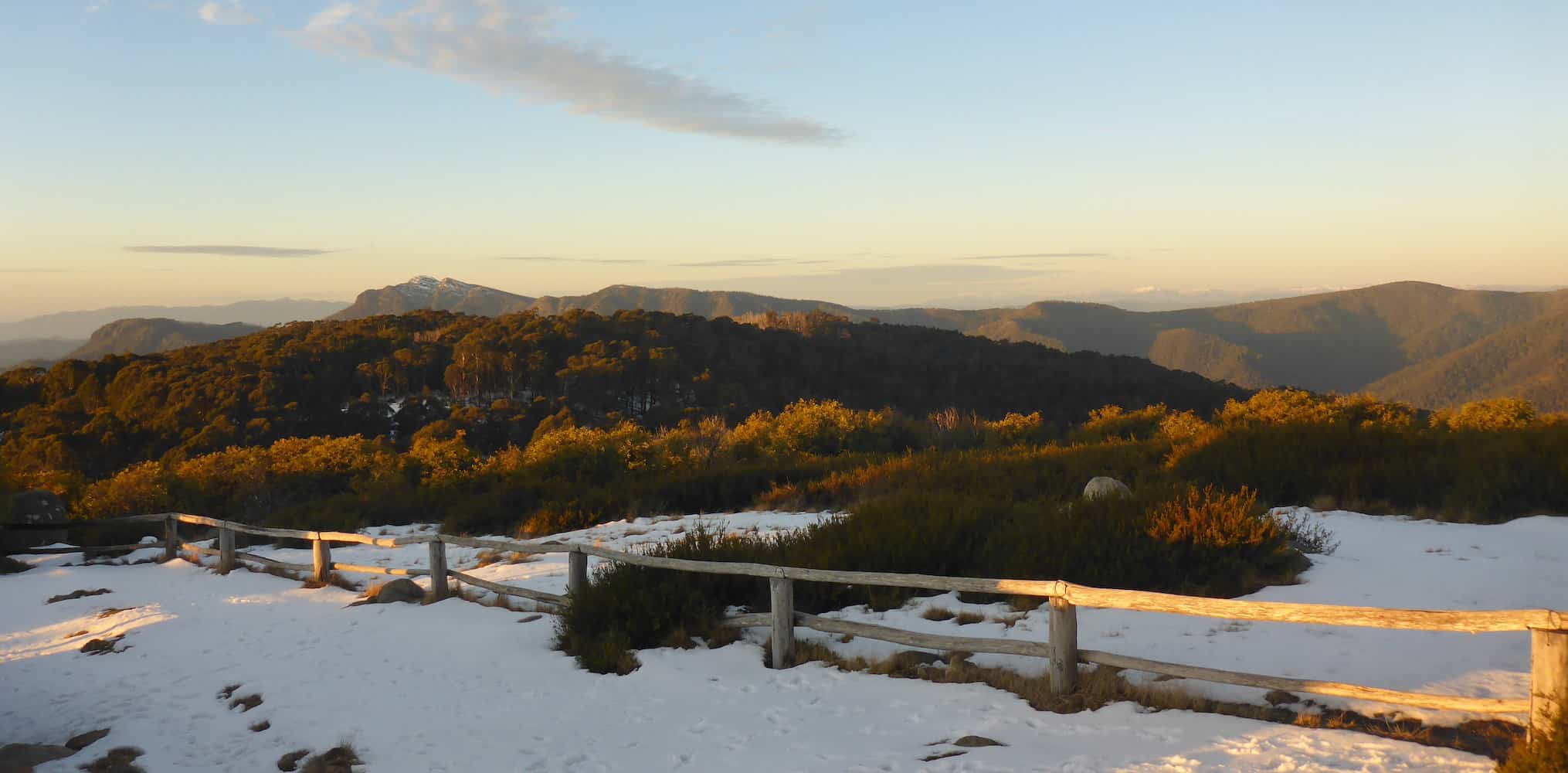
Various studies have shown that natural snowfall may decline by 60-80 per cent under accelerating global warming. This makes it even more important to properly protect and manage the natural parts of the Victorian alpine region.
A vision to link Mt Stirling with the Alpine National Park
Mt Stirling area should be linked to the Alpine National Park and managed as a national park.
Mt Stirling has few similarities with the Mt Buller Alpine Resort, doesn’t make profits for the downhill resorts and has the economic model of a national park. If it became an integral part of Victoria’s largest national park the ecological management, recreation experiences and overall integrity of our alpine region would be enhanced.
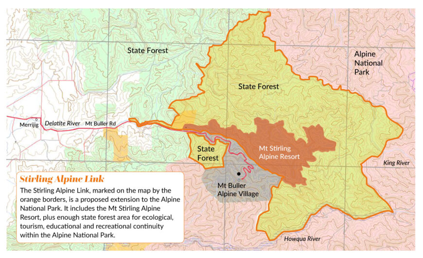
Including Mt Stirling in the Alpine National Park requires adding a parcel of land to the north and east of Mount Stirling. If this happened it would form a seamless extension of the Alpine National Park.
The area of the Mt Stirling ‘resort’ is about 2579 hectares, and of state forest 10,796 hectares. The total extension to the proposed Alpine National Park would be 13,374 hectares.
Special features of the Stirling Alpine Link
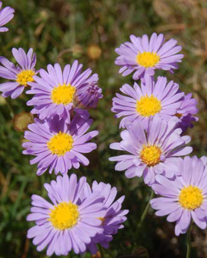
There’s a variety of grassland, herbfield and shrub habitats, with and without trees, below 1650 metres. Twelve vegetation types are represented within the boundaries of the proposed Stirling Alpine Link, including some small areas of depleted, rare or vulnerable vegetation types.
The largest “Ecological Vegetation Classes” are Herb-rich Foothill Forest, Montane Damp Forest, Montane Dry Woodland and Sub-alpine Woodland.
Home for threatened wildlife
A number of areas of state and higher regional significance are also found within the Mt Stirling Alpine Resort area.
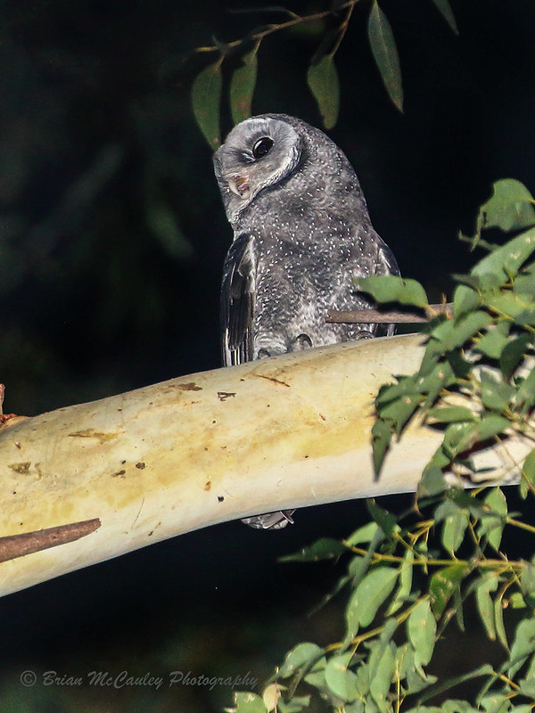
State and nationally significant wildlife include the Sooty Owl, Spotted Tree Frog and Barred Galaxias.
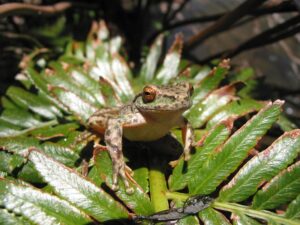
At least 22 threatened animals live in other north east forest areas with similar habitats. The Atlas of Australian Birds records more than 180 types of birds in the region.
Waterways
There are eight designated creeks and smaller tributaries, and three significant rivers – the King, and two designated Heritage Rivers, the Howqua and Delatite – found in the Stirling Alpine Link area.
Current infrastructure
Many kilometres of walking trails, 4WD tracks and cross-country ski trails already exist within the Stirling Alpine Link. There are four historic huts, toilets and picnic areas. There is no urban development or skiing infrastructure other than snow poles.
Logging activity
There are several scheduled logging coupes within the Stirling Alpine Link. Some have been harvested and others are fire affected, making them less suitable for logging.
Current protection
Some 2573 hectares of state forest has been designated as Special Protection and other dedicated management zones. This is to protect old-growth forests with a number of vegetation types, Spotted Tree Frog and Sooty Owl habitat, riparian forest and Craigs Hut (famous as a location from the film The Man from Snowy River).
What can you do?
We’re calling on the Victorian Government to:
- Convert the Mt Stirling Alpine Resort into a national park, giving it the level of protection it deserves.
- Join Mt Stirling to the Alpine National Park by adding the adjacent area of state forest to the national park.
